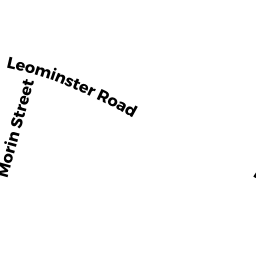
0 LEOMINSTER RD
Owner Information
UNKNOWN OWNER
7 KEADY WAY
SHIRLEY, MA 01464


Property Details
0 LEOMINSTER RD is classified as a Undevelopable Residential Land.
0 LEOMINSTER RD is valued at $5,400. The land is valued at $5,400 and the structures are valued at $0.
This property is in Zone R1. Confirm with local Zoning Board authorities to ensure there are no overlays or other easements on this property.
Assessment data from fiscal year 2022.
Flood Data
According to the FEMA National Flood Hazard Layer, this property does not appear to be in a flood zone. It may also be in an area not yet reviewed. Nonetheless, confirm this information prior to taking any action.
To view the flood hazards around this property, create a FEMA "Firmette" Map of the area around 0 LEOMINSTER RD.
Broadband Internet Providers
| Provider | Type | Bandwidth (mbps) | |
|---|---|---|---|
| HughesNet | Satellite | 25 | 3 |
| VSAT Systems, LLC. | Satellite | 2 | 1 |
| Comcast | Cable | 1000 | 35 |
| Verizon New England Inc. | DSL | 15 | 1 |
| Viasat Inc | Satellite | 100 | 3 |
| T-Mobile | Fixed Wireless | 25 | 3 |
| GCI Communication Corp. | Satellite | 0 | 0 |
Broadband service provider data from December 2020.
Adjacent Properties
- 0 LEOMINSTER RD
Undevelopable Residential Land owned by SHIRLEY FUEL & GAS CO., INC. - 0 LEOMINSTER RD
Electric Transmission Right-of-Way owned by NEW ENGLAND POWER COMPANY - 44 LEOMINSTER RD
Single Family Residential owned by DUNHAM MICHAEL S & - 33 LANCASTER RD
Single Family Residential owned by PELLEGRINI-COVIELLO, E., TTE